
Springfield Neighbors and Block Records
Public sources can describe several parts of a Springfield block, but they do not combine into a complete list of people. Begin with the physical parcel and note the parcel identification number, or PIN. The Greene County Assessor can connect a parcel to a situs address, owner name, mailing address, property characteristics, value history, sale date, and map report. The city map layer, permit history, voter and precinct information, historical directories, and neighborhood organizations each provide a separate dated view. Preserve the source and date with every observation, especially when nearby parcels have different mailing addresses or lie near a city-limit line.
| Springfield source | What it can show about a block | Access route |
|---|---|---|
| Greene Assessor map viewer | Selected and nearby parcels, parcel IDs, map tools, and reports | Free public map viewer |
| Greene Assessor property record | Owner, mailing and situs addresses, sale data, districts, and property characteristics | Free public portal; updated nightly or on purchase |
| City GIS and permits | Roads, municipal boundary context, public layers, and dated project records | City GIS viewer; eCity or a records request |
| Election and precinct records | A limited, election-specific registration or precinct layer | Greene election office and state lookup within statutory rules |
| Library cross-reference directories | Historical address-to-name and name-to-address leads | Library Center microfilm or closed storage |
| Registered neighborhood organizations | Community context, not a complete block roster or a boundary file | Dated City of Springfield notice |
Recorded ownership, a tax mailing address, and a parcel situs are distinct fields. Situs is the physical parcel location. Mailing is where tax notices go, and it can be outside Springfield or Greene County. A parcel record does not establish who occupies the address. Likewise, an adjacent parcel, directory name, voter record, or permit applicant is a separate record fact, not proof of a relationship between Springfield neighbors.
Springfield Neighbor Parcel Mapping
The Greene County Assessor map viewer supports point, box, polygon, line, and freehand selection. It also has buffer selection in feet or meters, GIS identify, measure tools, and reports such as a mailing list and combined property record card. Use the parcel-ID list as the output of the map step. A shape on screen is only an approximate map position. The Assessor says maps are not legal descriptions, with parcel positional accuracy around 8 to 10 feet and planimetric features around 2 to 3 feet.
The separate Greene County Assessor public portal offers address, PIN, owner, and map search routes. Its public information includes characteristics, assessment history, aerial imagery, and ownership or sale dates. The county advises using a deed or licensed surveyor for boundary proof.
- PIN
- A parcel identification number. It is a more repeatable property key than a street-name search.
- Situs address
- The physical parcel location used by the Assessor. It differs from a tax mailing address.
- Buffer selection
- A map tool that selects parcels near a chosen feature by a set distance. It helps make a working parcel list, not a legal boundary.
Mapping a Springfield Neighbor Block
Use a short, repeatable process for the immediate area. The address first establishes a starting parcel. The map then supplies adjacent or buffered parcels and their PINs. Each parcel card can be read separately for its situs, owner, mailing address, value, and sale or instrument references. If a deed question arises, take the legal description or PIN information to the Recorder search path. The Recorder FAQ directs address-only researchers to the Assessor for a legal description before a grantor or grantee search. This keeps a neighbor check tied to the actual parcel rather than a similar street name.
- Enter the address in the Assessor search and save the situs, PIN, legal-description context, and map link.
- Open the map, select the surrounding parcel polygons or use a modest buffer, and make a parcel-ID list.
- Read each selected record card separately. Record owner and mailing fields as property-record fields, not as an occupancy claim.
- Use the legal description, document number, book and page, or named parties for a Recorder follow-up when a recorded transfer matters.
- Mark the search date and each record type before comparing older directories, permits, or election material.
For a longer named-street record chain, use the Springfield street directory. A block search should stay focused on the parcels immediately around the starting address.
Springfield Block Map Layers
Springfield has more than one geography around an address. City GIS began in 1989 and supports addresses, city boundaries, roads, and city-government data. The City GIS overview explains that role, while the city viewer is useful for separating municipal lines from roads and other public layers. A postal city label, municipal boundary, parcel situs, tax mailing address, and historical directory address can all point to different things. Keep them in separate columns when comparing Springfield neighbors near an edge of the city.
The property map is approximate, and the City GIS point is not proof that a person currently lives there. A city-limit line also does not establish a neighborhood boundary, precinct, or postal delivery area. The practical benefit is narrower research: map the parcel, then use the custodian responsible for the record needed.
Note: Springfield City GIS began in 1989, so older block questions need maps, directories, or archival records as well.
Springfield Neighbors and Voter Records
Election information is a limited, dated record layer. Greene County administers elections through the Greene County elections office, and its voting-information page links an address-based sample-ballot and polling-place route. The official Missouri registration lookup requires exact first name as registered, last name, date of birth, last four digits of the Social Security number, and county. A failed match can reflect a spelling, date, county, or registration-status mismatch, not a conclusion about a person at an address.
RSMo §115.157 limits the fields released in public electronic or print formats, including names, year of birth, addresses, townships or wards, and precincts for permitted public releases. It also provides address protections for qualifying cases. Use voter information only within those rules and record the election date. A voter record can support a registration fact for a given time, but it does not establish ownership, every household member, or continuous occupancy.
| Official record layer | Best use | Limit to retain |
|---|---|---|
| Assessor parcel record | Recorded owner and property fields | Does not prove who occupies the parcel |
| Election or precinct record | Dated registration or polling-place context | Subject to statutory release and address protections |
| Historical directory | Dated household or address lead | Not a current presence claim |
| Commercial neighbor service | Unverified starting lead, if encountered | May be stale or combine different people; verify with a custodian |
Springfield Neighborhood Organization Context
A neighborhood organization is community context, not a list of everyone on a block. A City of Springfield notice dated June 9, 2025 identified registered organizations outside the center-city group, including Bissett, University Heights, Fassnight, Mark Twain, Greater Parkcrest, Oak Grove, Brentwood, Seminole Holland, Meador Park, Delaware, Bradford Park, and Galloway Village. It also named center-city examples such as Woodland Heights, West Central Neighborhood Alliance, Westside Neighborhood Betterment, Heart of Westside, Grant Beach, Tom Watkins, Doling Park, Weller, Midtown, Robberson, Rountree, and Phelps Grove.
Outside center city
Bissett, University Heights, Fassnight, Mark Twain, Greater Parkcrest, Oak Grove, Brentwood, Seminole Holland, Meador Park, Delaware, Bradford Park, and Galloway Village appeared in the dated City notice.
Center-city examples
Woodland Heights, West Central Neighborhood Alliance, Westside Neighborhood Betterment, Heart of Westside, Grant Beach, Tom Watkins, Doling Park, Weller, Midtown, Robberson, Rountree, and Phelps Grove were named.
Planning geography
The 2024 city guide describes an association as usually working within roughly one square mile, often bounded by arterials or railroads, with 3,000 to 6,000 residents as planning guidance.
The City notice on registered neighborhood organizations is dated and does not function as a complete official boundary file. Contact an organization through its current official channel for community information, rather than treating the list as proof that a particular address belongs to it.
Older Records for Springfield Neighbors
For a block that changed over time, Library Center's Cross-Reference Directories can reverse an address into a name for 1950 through 1970 on microfilm and 1971 through 2006 in closed storage. Earlier and later city directories, census microfilm, telephone books, the Hall Index, Sanborn maps, plat books, and redevelopment photographs offer different types of historical context. A directory can show a household lead; a Sanborn map can show how the block was used; a plat book can describe subdivision geography. None should be turned into a current-neighbor claim.
Springfield's 1947 renumbering is a key local check. The library examples convert 415 Mitchell St to 415 E Olive St and 810 E McDaniel St to 1008 E McDaniel St. Search the directory year and both address forms before treating an old block result as a miss. Keep the old and modern forms with the source year.
Springfield Block Change Records
City project records can describe a change at an address without identifying a household. Springfield development records run through eCity updates, which says the old Lookup Record label became Search and notes permit, guest payment, and record-ID filters. The city published permit summaries use fields such as permit number, address, applicant, project name, issued date, use, and milestone. The public search page returned an unavailable notice during research, so live fields should be checked in the browser before relying on them.
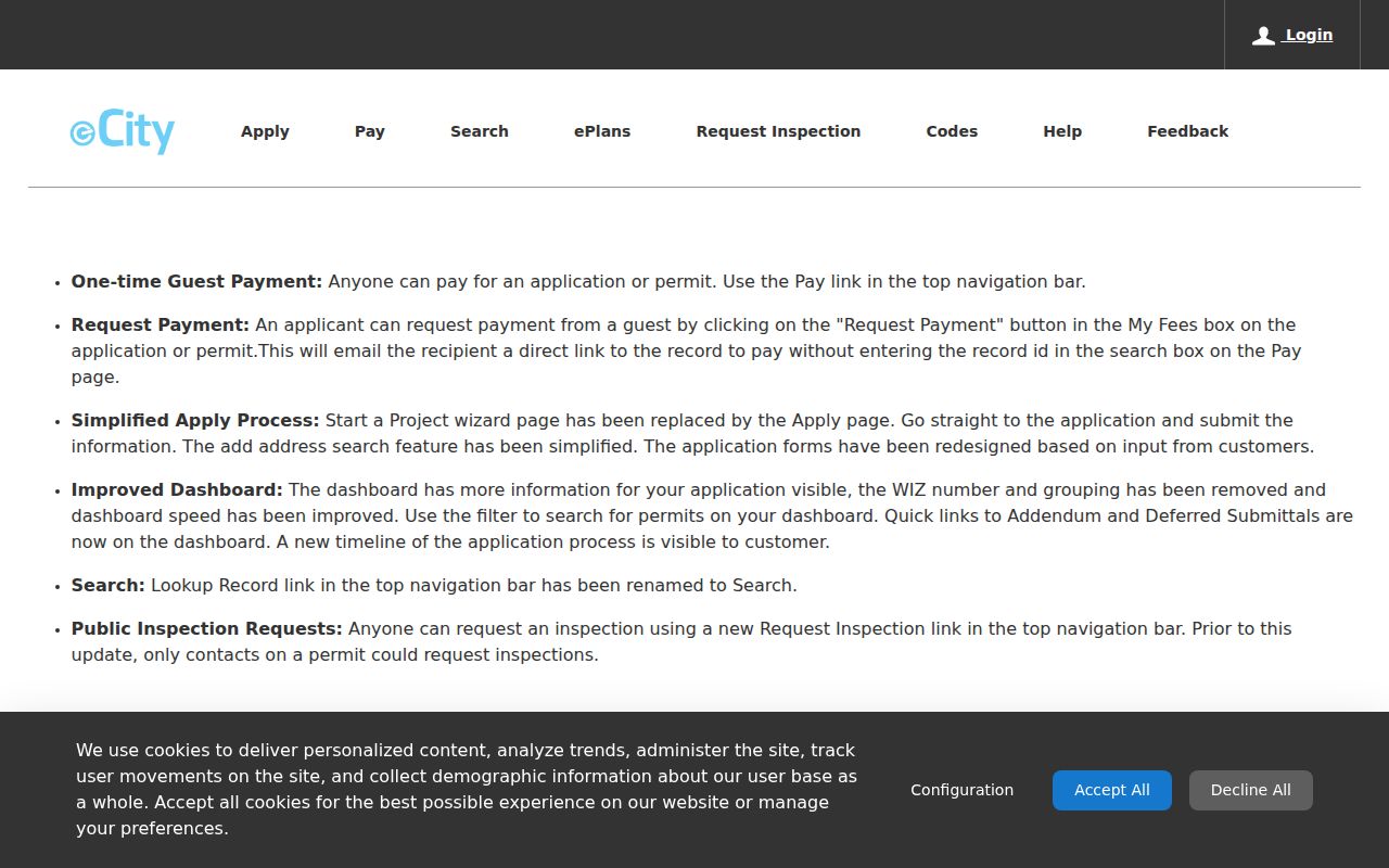
An eCity result is a project record. It can add a date and address to block history, but an applicant's name does not prove ownership or residence.
Requesting Springfield Block Records
When a city-held record is not indexed, use the City Sunshine Law request route. The page identifies the City Clerk as custodian and says requests are answered within three business days. A focused request should identify the department, record type, date range, address, case or permit number, desired format, and willingness to pay lawful search or duplication charges. The linked Public Records Center was not exposed as a usable external address during research, so the official City page is the safe starting point.
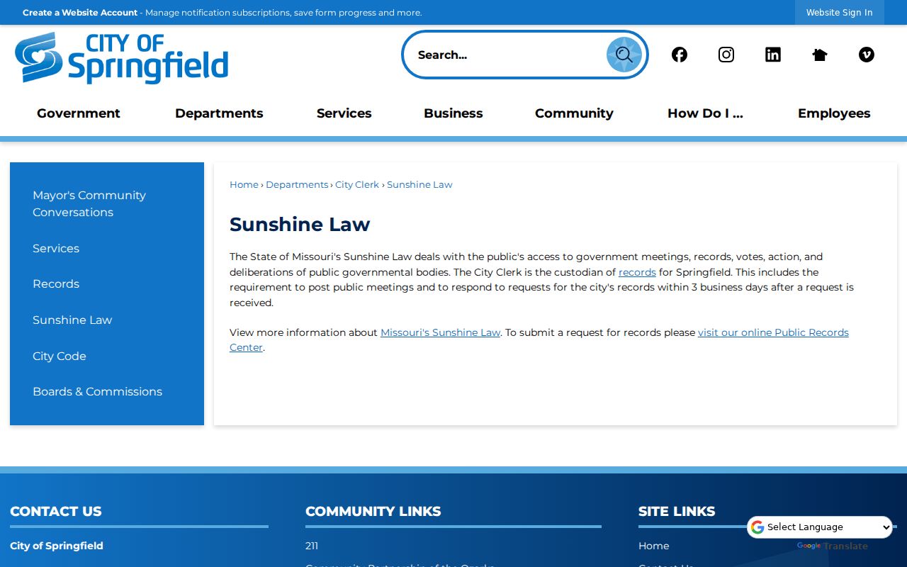
Missouri Sunshine Law requests seek records held by a public body. They do not require the City to create a block roster or make private information public.
For a department contact, the Springfield city contact directory can be searched by category, first name, or last name.
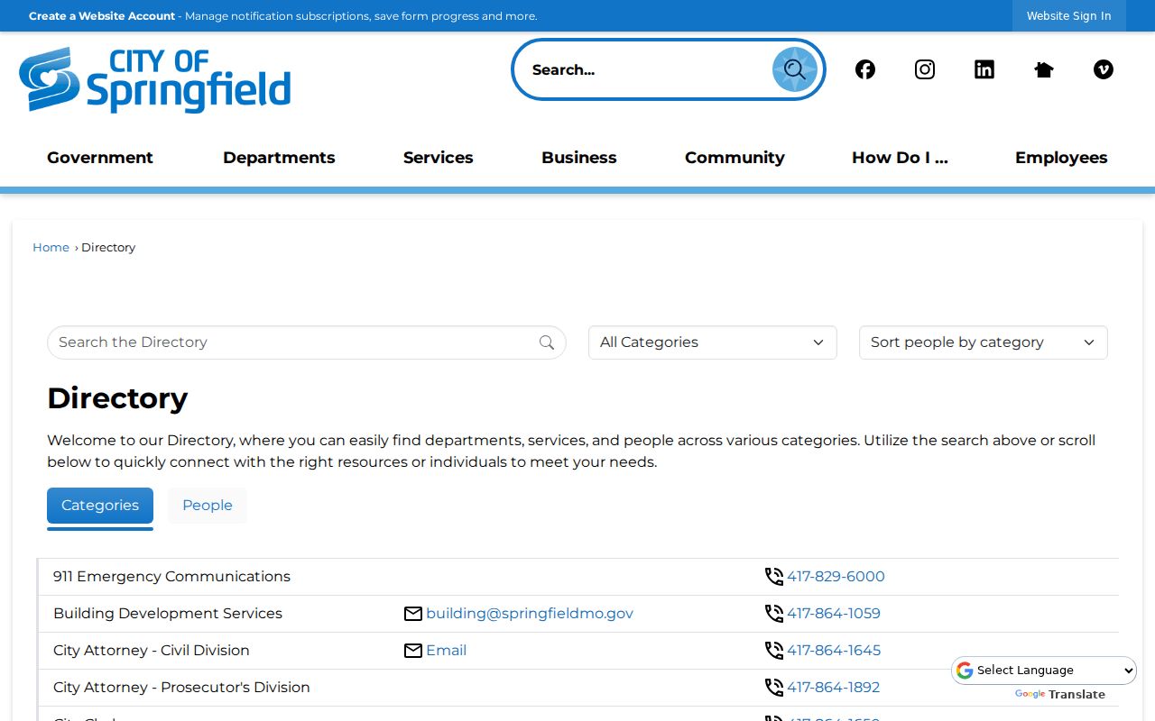
The contact directory is a staff and office finder, not a residents list, but it can help route a specific permit, planning, or records request to the correct office.
Privacy Limits for Springfield Neighbors
Public does not mean unrestricted. Missouri applies different access rules to voter, court, vital, and other records. RSMo §115.157 limits public voter-file releases and permits closed residential addresses for qualifying safety cases. Courts may withhold juvenile, sealed, expunged, confidential, and protected-order information. Certified vital records require direct and tangible interest. Do not copy protected addresses, full Social Security numbers, full dates of birth, medical material, or victim information into a block research log. Ask the custodian how to correct or restrict a record when it appears wrong or sensitive.
Missouri Safe at Home provides eligible survivors and household members a substitute address with mail forwarding. Government agencies and courts must accept that address under program rules, while the actual address is not removed from every existing record. The program is a reminder that a missing or substituted address may be intentional and should never be pursued through other sources.
Lawful use. Use Springfield neighbor records for personal, lawful research and community context. Do not use them to stalk, harass, intimidate, or harm anyone.
Note: A Springfield neighbor result should retain its custodian, date, record type, and access limit before it is compared with another source.