
Trace a Springfield Street by Address
A street-by-street search works best when it begins with the location, not a surname. Greene County records connect the same place through several keys: the Assessor connects a situs address to a parcel identification number and legal-description context, while the Recorder indexes recorded documents by document number, name, type, book and page, affected book and page, or legal description. That sequence can establish recorded ownership and property history. It cannot by itself prove that every owner or every person connected with an address lived there.
- Keep the address exactly as found, including direction, suffix, unit, ZIP, and any older form.
- Search the Greene County Assessor public access portal by address and save the situs, PIN, owner field, mailing field, map link, and legal-description context.
- Use the Assessor map to make a parcel list along the relevant part of the street. Save parcel IDs instead of treating a drawn map edge as a legal boundary.
- Take the legal description, document number, book and page, or party names to the Greene Recorder real-estate search and verify a promising index hit against the recorded image or book.
- For dated household evidence, compare the address with the Library Center's cross-reference and city-directory holdings, keeping the publication year beside each result.
The election layer is narrower. The county's address-based ballot and precinct tools can orient a search to an election area, while Missouri's registration lookup requires exact identifying data. A dated voter record can show registration under the applicable rules, not ownership, every household member, or continuous presence.
Springfield Address Search Keys
The Assessor's free public portal is the starting layer for a modern Springfield parcel search. Its available modes are address, PIN, owner, and map search. The research capture could not pass the portal disclaimer to record every detailed form field, so the useful, observed search keys are shown plainly below rather than guessed. The county says public information is updated nightly, while ownership and current sale dates depend on the latest purchase or recording.
| Portal mode | Observed key | Useful street result | Important limit |
|---|---|---|---|
| Search by Address | Situs or street address | Parcel context and property card route | Detailed form fields were blocked by the disclaimer during research. |
| Search by PIN | Parcel identification number | A repeatable parcel key | Exact PIN formatting was not exposed. |
| Search by Owner | Owner name | Ownership lead and related parcel route | Owner does not necessarily mean occupant. |
| Map Search | Parcel selection or buffer | Adjacent parcels and printable property-card route | Map positions are approximate. |
A parcel card can include owner, mailing address, situs address, parcel number, acreage, section/township/range, taxing districts, assessed and appraised values, sale date, characteristics, aerial imagery, and map reports. These fields answer different questions. A mailing address receives tax notices; a situs address identifies the physical parcel. Neither should be stretched into a claim about a person's current daily presence.
Map a Springfield Street Block
The Greene County Assessor map viewer has a practical block-research toolkit: point, box, polygon, line, and freehand selection; buffer selection; identify; distance measurement; Selection Manager; Mailing List; and Combined Property Record Card printouts. The buffer tool showed a default distance of 100 with feet or meters and parcel selection by center points or polygons. Use it to find parcels for separate review, not to make a social roster from proximity.
The Assessor map viewer shows the recorded controls used for Springfield address research.
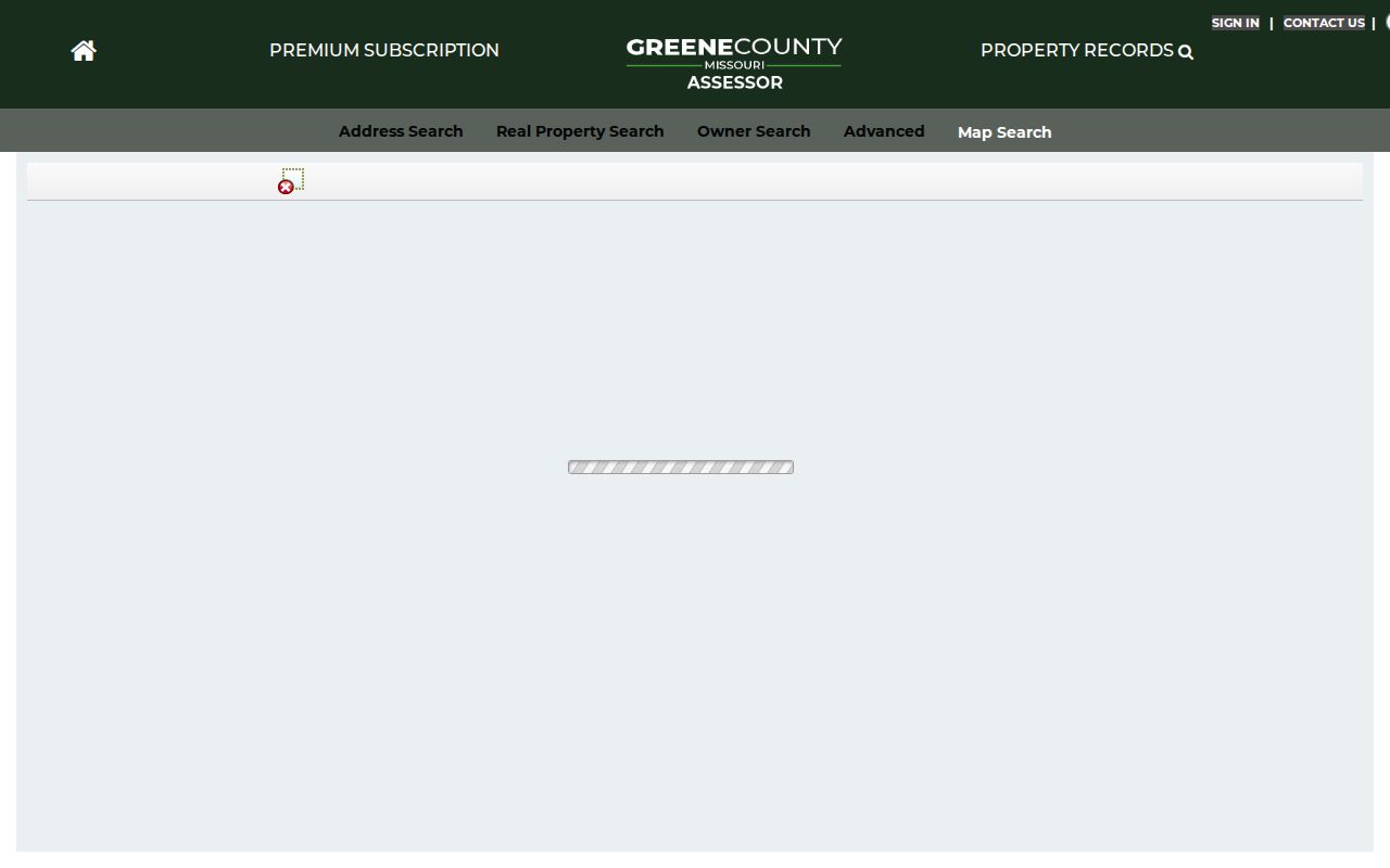
Its selection, buffer, identify, and report controls help turn a street view into a checkable parcel-ID list.
For municipal roads, city limits, and public city layers, compare the parcel result with the Springfield city GIS viewer. The City GIS program began in 1989. The two map systems complement each other, but the Assessor warns that its map is not a legal description and reports approximate positional accuracy. A deed or licensed surveyor is the appropriate source for boundary proof.
Springfield's city GIS viewer provides the municipal map layer for a street-directory check.
Use the city viewer to distinguish roads and city limits from the parcel and ownership context held by Greene County.
Greene Deeds Along Springfield Streets
A street name is often the weakest deed-search key. When the starting clue is only an address, the Recorder FAQ directs the researcher to the Assessor for the legal description. Use that legal description, a document number, book and page, or the parties from a known transaction in the Recorder's six search routes. If the individual online forms redirect to Human Verification, call or visit the Recorder with the specific key rather than treating the challenge as an absent record.
The Greene Recorder real-estate search landing page displays the six available document-search paths.
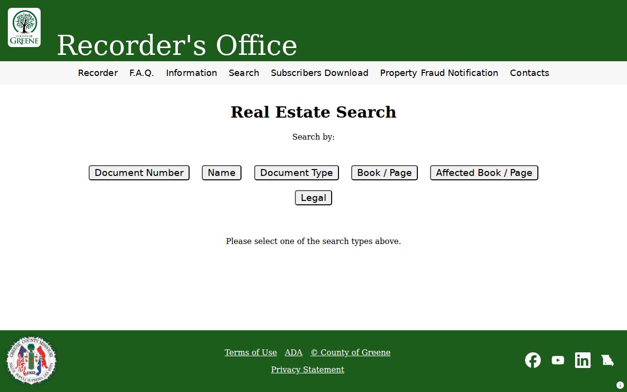
The visible tabs show why a parcel-derived legal description or a known book and page is more durable than a casual street-name search.
- Parcel
- A taxable unit of land in the Assessor system, normally identified by a PIN and linked to a situs address or legal-description context.
- Situs address
- The physical location of the parcel. It differs from the mailing address used for tax correspondence.
- Plat
- A recorded map that can describe lots, blocks, roads, and subdivisions. It can help explain a changed parcel, but it is not a current occupancy record.
- Criss-cross directory
- A reverse directory arranged to move from an address to a name, rather than only from a name to an address.
Record the instrument type, grantor and grantee, execution and recording dates, legal description, document number, book and page, and any cross-reference. That log supports a later check of the original image and makes gaps visible instead of silently filling them with a plausible name.
Springfield Street Records Beyond Deeds
Address research also has city and tax layers. Springfield's eCity route covers development records. The city's published permit-report shape includes permit number, address, applicant, project name, issued date, use, and milestone. The public search interface returned a 404-style notice during research, so current live fields should be verified in a browser or through Building Development Services. An applicant on a permit is associated with that project, not automatically the owner or occupant.
Springfield eCity is the official development-record entry point used in an address trail.
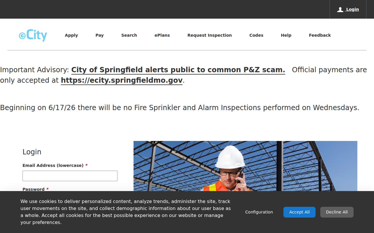
Its records can date a project at an address when a permit number or address search remains available.
The Greene County Collector adds tax statements, payment information, and receipt support. Online receipts become available after 10:00 a.m. on the next business day, while in-office receipts are immediate. A receipt ties a parcel to a tax year and payment record, but it is not a deed and does not establish who occupied the property.
The Greene County Collector service supplies the tax-statement and receipt layer for an address search.
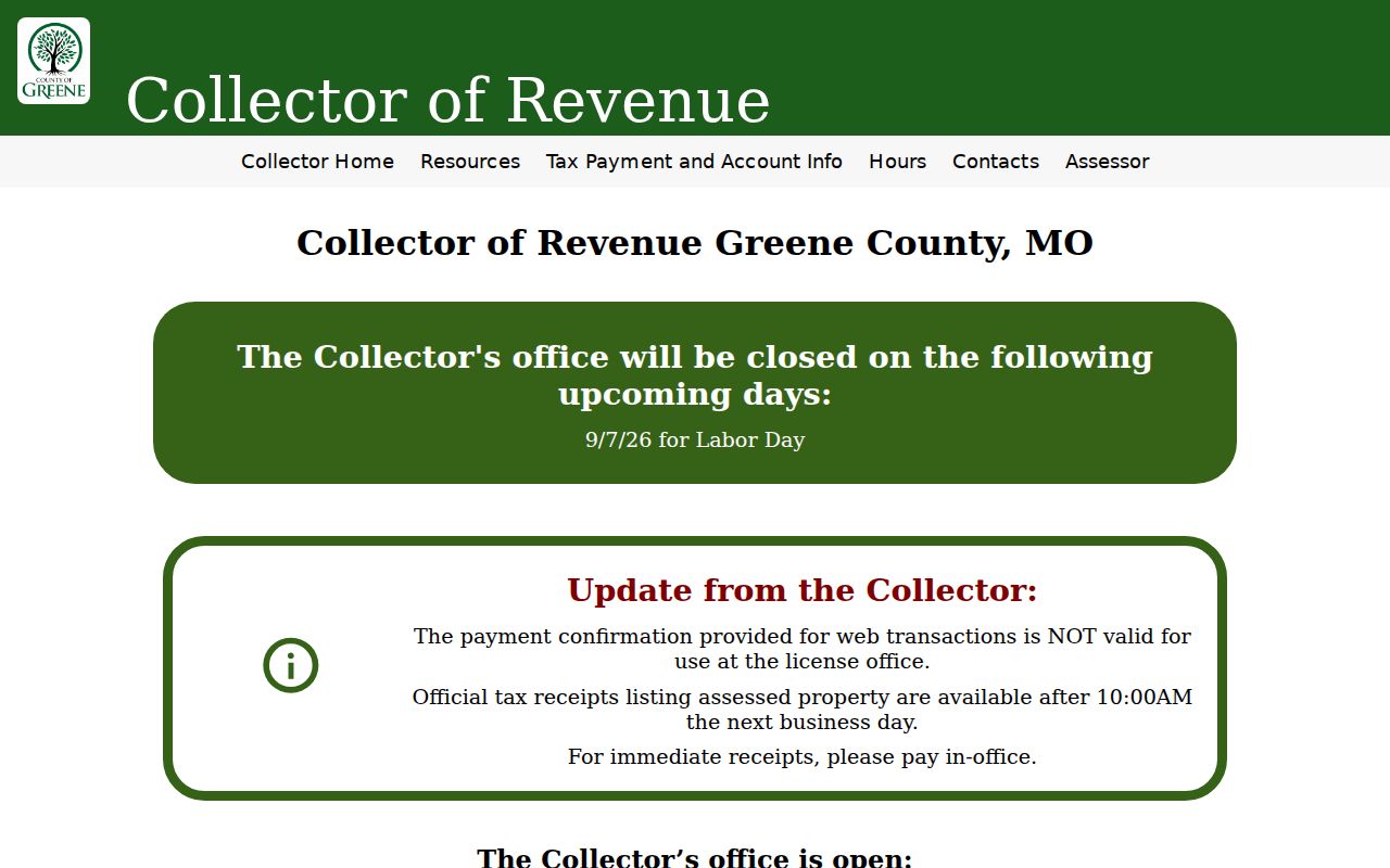
Tax records add dated parcel support after the property and document keys have been established.
Note: A city permit, tax receipt, deed, and assessor card each describe a different event or relationship at the same address.
1947 Changes in Springfield Street Directories
Historic Springfield street work has a local checkpoint: the Library reports that addresses were renumbered in 1947. Its examples convert 415 Mitchell St to 415 E Olive St and 810 E McDaniel St to 1008 E McDaniel St. Keep the source year, original address, normalized modern address, and source note as separate fields. A visually similar street name or number is not enough to join records across that change.
The Library Center holds Springfield city directories from 1878 through current years in changing formats, plus cross-reference directories on microfilm for 1950 through 1970 and in closed storage for 1971 through 2006. Those reverse volumes are the historical street-directory layer. The Library's selected digitized early directories are useful leads, while the wider holdings and local-history staff supply the fallback for a missing online year. The detailed collection runs belong on the Springfield Directory Book page.
Springfield Address Record Layers
Each record layer is strongest when treated as a dated, limited source. The coverage below puts the address-keyed sources in a street-directory order. Access methods matter: use the online portal where available, then the counter, phone, archival books, library microfilm, or a focused Missouri Sunshine Law request when an index does not answer the question.
| Address record | Custodian | Street-level value | Access route |
|---|---|---|---|
| Assessor situs parcel | Greene County Assessor | PIN, owner, mailing and situs fields, sale and property context | Free portal, office, and map viewer |
| Parcel map and GIS | Assessor and City GIS | Parcel selection, roads, limits, districts, and spatial context | Official web viewers |
| Recorded deed | Greene County Recorder | Parties, instruments, book/page, and legal description | Real-estate search, counter, phone, and archival books |
| Tax statement or receipt | Greene County Collector | Parcel and tax-year payment support | Online statement/receipt route or Collector office |
| Permit record | Springfield Building Development Services | Permit number, address, applicant, project, date, and milestone | eCity, office assistance, or a focused records request |
| Election and precinct material | Greene County Clerk and Missouri SOS | Dated registration or precinct information within statutory limits | Address tools, exact-data lookup, or Clerk procedure |
| Directory and census sources | Springfield-Greene County Library | Dated household, address, and enumeration evidence | Library Center, microfilm, closed storage, and selected digital volumes |
The parcel number is the bridge from an address to property and tax records. The legal description then strengthens the deed search. Street spelling, direction, ZIP, city limit, and postal label remain separate checks. USPS can standardize a mailing address, but postal geography is not parcel proof and does not identify a resident.
Springfield Address Layers Can Differ
One Springfield location can carry several labels at once: a parcel situs address, a tax mailing address, a postal ZIP, a municipal-boundary result, and an older directory address. The Assessor's own mailing-address change form distinguishes the mailing destination from the location or situs address and asks whether related parcels should be changed. That distinction is a useful guardrail when a property owner receives notices somewhere else.
Use the USPS ZIP Lookup to standardize an address or confirm postal city and ZIP information. Then use the city GIS viewer for municipal boundaries and the Assessor for parcel context. ZIPs are delivery and statistical geographies, not city-limit lines. Note: A tax mailing address or postal label should never be treated as proof that a person lives at the parcel.
Limits of Springfield Street Records
Property ownership is not a complete resident list. An Assessor owner can be different from the current occupant; a tax mailing address can be elsewhere; a deed records a legal transfer rather than a social relationship; and a directory entry only reflects the time of its publication. Election material is limited by RSMo §115.157, including protections for certain residential addresses. Court, vital, juvenile, sealed, expunged, and Safe at Home information may also be restricted.
For an unclear result, preserve the ambiguity. Compare an independent date, name variant, parcel key, or original record before joining two entries. A focused request under Missouri Sunshine Law, Chapter 610 RSMo, should name the custodian, series, date range, desired format, and maximum cost rather than ask for every record connected to a street.
Lawful use. Use Springfield street records for personal, civic, family-history, or property research. Do not use an address trail to stalk, harass, monitor, or intimidate anyone.