
Springfield Postal Code Coverage
The official Missouri ZIP, county, and city dataset has fifteen Greene County rows bearing the Springfield city label. Those rows are the most defensible starting point for this Springfield ZIP code directory because they identify the city designation in the state data. They do not supply a complete neighborhood map or prove that a ZIP lies wholly inside the City of Springfield. Some rows have an archived postal-facility grouping, while others need a current USPS address lookup before a facility or delivery conclusion is made.
| ZIP Code | Areas covered | Post office | Record note |
|---|---|---|---|
| 65801 | Springfield postal designation | Archived DMM grouping: Springfield 65801 | Verify current routing with USPS. |
| 65802 | Springfield postal designation | Archived DMM grouping: Springfield 65802 | State dataset row. |
| 65803 | Springfield postal designation | Archived DMM grouping: Springfield 65802 | State dataset row. |
| 65804 | Springfield postal designation | Archived DMM grouping: Springfield 65804 | State dataset row. |
| 65805 | Springfield postal designation | No current station label located | State dataset row. |
| 65806 | Springfield postal designation | Archived DMM grouping: Springfield 65802 | State dataset row. |
| 65807 | Springfield postal designation | Campbell SDC routing update | Facility change effective September 6, 2025. |
| 65808 | Springfield postal designation | Archived DMM grouping: Springfield 65804 | State dataset row. |
| 65809 | Springfield postal designation | Archived DMM grouping: Springfield 65804 | State dataset row. |
| 65810 | Springfield postal designation | Campbell SDC routing update | Facility change effective September 6, 2025. |
| 65814 | Springfield postal designation | Archived DMM grouping: Springfield 65801 | State dataset row. |
| 65817 | Springfield postal designation | No current station label located | State dataset row. |
| 65890 | Springfield postal designation | Archived DMM grouping: Springfield 65801 | Exact current facility description not located. |
| 65898 | Springfield postal designation | Archived DMM grouping: Springfield 65801 | Exact current facility description not located. |
| 65899 | Springfield postal designation | Archived DMM grouping: Springfield 65801 | Exact current facility description not located. |
The archived DMM grouping is a postal-routing reference from 2011, not a current boundary map. In particular, rows 65890, 65898, and 65899 should not be described as a special facility type without a current official result. Nearby Greene County postal places such as Ash Grove, Battlefield or Brookline Station, Fair Grove, Republic, Strafford, and Willard have their own state-dataset rows and are not Springfield city ZIPs.
Springfield Postal Data
The Missouri ZIP, county, and city dataset is the source for the coverage rows above. It is a better county-and-city inventory than a broad profile estimate. A Springfield profile can also show ZCTA overlap codes including 65714, 65721, 65742, and 65757. ZCTAs are Census-style statistical approximations, so label those codes separately from the address-specific Greene County rows. No official complete neighborhood-to-ZIP crosswalk was located, which means a neighborhood label should not be inferred from a postal code.
The official state data view is the source shown for the Springfield ZIP code directory inventory.
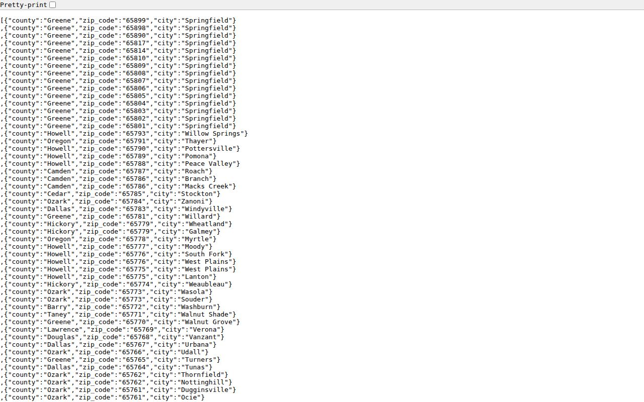
Use a source date with a saved row or query. A dataset can organize postal geography well without resolving a parcel's municipal status, history, or current delivery recipient.
Springfield USPS Lookup Fields
USPS ZIP Lookup has three distinct modes. By Address accepts an optional company field, street address, city, state, and optional ZIP. By City and State takes a city and state. Cities by ZIP Code takes a ZIP. USPS standardizes an address and returns postal geography. It does not confirm who receives mail, whether a listed person is current, or whether a postal city matches municipal limits. Include a unit number for a multi-unit address when it is available.
| USPS lookup mode | Fields supplied | What the result supports |
|---|---|---|
| By Address | Company optional, street, city, state, ZIP optional | Standardized address and postal geography. |
| By City and State | City and state | Postal lookup starting from a place name. |
| Cities by ZIP Code | ZIP Code | Postal city information for that code. |
The USPS ZIP basics page provides the official definition and lookup limits.
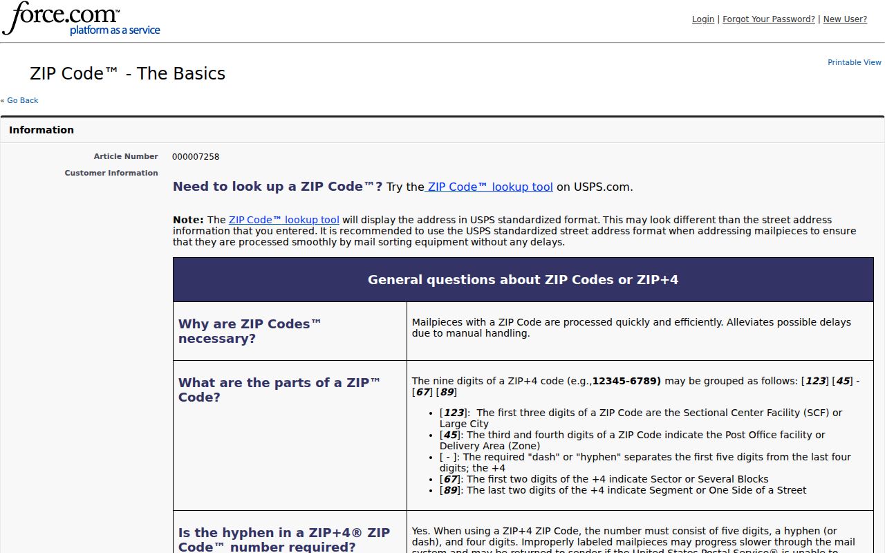
A ZIP result should be saved as delivery geography. It becomes useful for public-record research only after the address is compared with the correct parcel, city, or election system.
Note: USPS output standardizes delivery geography, but it does not resolve city limits, parcel boundaries, ownership, or current mail receipt.
Find Springfield Residents by ZIP
A ZIP can narrow a location but is not a name search. Use it to normalize a known address, then move to the official system that records the fact you need. The Greene Assessor's public portal supports address, PIN, owner, and map searches, but the research did not document a ZIP filter in its public form. The voter lookup also uses exact registered data, not a general ZIP roster. That distinction keeps a ZIP-based inquiry within the actual limits of each portal.
- Run the full address through the USPS lookup and retain the standardized postal city and ZIP.
- Check the Missouri dataset to confirm that the code belongs in the Greene County and Springfield inventory.
- Use the Greene Assessor address or map route to find the situs address, parcel or PIN, and map context.
- Open the Springfield GIS viewer to compare city limits, roads, and public layers with the parcel location.
- Use election or directory records only under their own statutory and access rules, and preserve the search date and source type.
Once a ZIP has narrowed the geography to a specific address, the Springfield street directory provides the fuller by-address record trail. A ZIP does not replace the legal description, parcel key, or dated directory entry used for that work.
Springfield Parcel Context by ZIP
The Assessor portal is updated nightly, while ownership and current sale dates depend on the latest purchase or recording. Its map viewer has point, box, polygon, line, and buffer selection; GIS identify and measure tools; map contents; and report choices for a mailing list or combined property record card. These functions can connect an address to parcel context, but the Assessor warns that its map is not a legal description and that positional accuracy is approximate. Use a recorded deed or a licensed surveyor for legal boundary proof.
The City GIS program began in 1989 and supports city boundaries, roads, addresses, and city data. That date matters for a historical Springfield ZIP question: a modern GIS layer may clarify today's municipal edge without explaining an older postal label or an old address. Keep postal place, municipal place, parcel situs, tax mailing address, and historical directory address as separate fields in a research log.
Note: An owner name or tax mailing address on a parcel card does not establish current occupancy or a person's delivery address.
Springfield ZIP Boundaries and City Limits
ZIP codes are delivery and statistical geographies, not city-limit boundaries. USPS is authoritative for a standardized mailing address, the Missouri dataset is the starting point for county and city postal rows, and City GIS is the better source for municipal limits. A Springfield postal label can sit outside the same municipal polygon, and an address near an edge can have a different postal, parcel, and city description. Never turn a ZIP into a neighborhood boundary without a source.
- ZIP Code and ZIP+4
- A five-digit ZIP identifies broad delivery geography; ZIP+4 adds a more precise delivery segment.
- PO Box ZIP
- A postal code used for post-office-box service rather than a claim about a street-area boundary.
- Unique ZIP
- A ZIP tied to a particular delivery arrangement; do not label a Springfield row unique unless USPS verifies it.
- Carrier route
- A delivery route grouping used in postal operations, not a municipal boundary or resident list.
Boundary check. Compare the USPS result, state ZIP row, city GIS layer, and parcel situs before describing a Springfield location in a record note.
Springfield Postal ZIP Does Not Identify a Resident
Postal research has a firm limit: USPS output standardizes delivery geography but does not prove who receives mail at an address. A ZIP also cannot establish ownership, voter registration, court involvement, or household membership. The appropriate public record depends on the question. A parcel result records assessment and ownership information. A directory entry is dated. A voter result has statutory limits. A court index must be tied to a case and a litigant, not just a postal place.
For personal, civic, genealogical, and historical research, keep the smallest necessary set of identifiers and identify the custodian that issued each result. Do not publish protected addresses or use address and ZIP information to monitor, harass, or harm anyone.
Campbell SDC Update for Springfield ZIP Codes
USPS announced the Springfield Campbell Sorting and Delivery Center at 3591 S Campbell Avenue in a 2025 Industry Alert. The alert says ZIPs 65807 and 65810 moved to that facility on September 6, 2025. This is a routing and facility update, not a ZIP-boundary change. Date any postal-facility observation because routing can change separately from USPS delivery geography, state ZIP rows, and City GIS limits.
The USPS AIS viewer is an official address-quality context tool for ZIP+4, county, city, and carrier-route information.
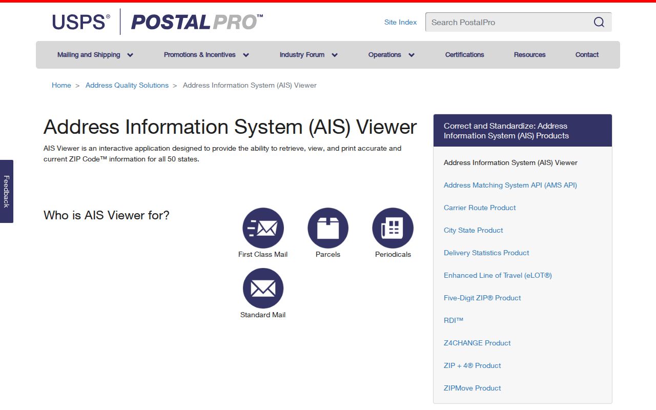
Use current USPS tools to check a present mailing result. Keep the 2025 facility change as a dated note instead of assuming it changes a Springfield postal boundary.
Note: A sorting and delivery center update describes routing operations, so it should not be cited as evidence of a ZIP boundary change.
Springfield Nearby Postal Labels
Greene County includes nearby postal-place rows that should remain separate from Springfield. The state dataset lists 65604 Ash Grove, 65612 Bois D'Arc, 65619 Battlefield or Brookline Station, 65648 Fair Grove, 65725 Pleasant Hope, 65738 Republic, 65757 Strafford, 65765 Turners, 65770 Walnut Grove, and 65781 Willard. A similar city name, county location, or overlapping ZCTA is not enough to convert one of those postal rows into a Springfield address.
When a search result shows an unfamiliar place label, return to the full street address, county, parcel situs, and the current USPS output. That sequence resolves geography without making a claim about a person or household.